

Image Repository
NASEM Marsh Terraces UAS Imagery
SAV Individual Projected Imagery
This files contains individually georeferenced images from various points in the imaged marsh areas. Images are nadir-facing, and have been yaw-corrected (rotated to the correct orientation). They have not been pitch- or roll-corrected as those rotations are minimal.2021-10-25 | Readme
2021-08-10 to 2021-08-12 | Readme
2020-10-07 | Readme
2019-10-22 | Readme
2019-09-03 to 2019-09-06 | Readme
NASEM Marsh Terraces Mosaics
These files are either RGB or BGREN (Blue-Green-Red-RedEdge-NIR) mosaics of the imaged marsh areas. RGB mosaics were produced with Agisoft Metashape, and BGREN mosaics were produced with a mixture of Agisoft Metashape and Pix4D Pix4Dmapper.2018-10-03 RGB (Agisoft) | Readme
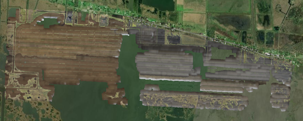
Ducks Unlimited Imagery
These files are imagery taken near Golden Meadow, LA for Ducks Unlimited.2020-10-07 RGB (Agisoft) | Readme
2020-10-07 BGREN (Pix4D) | Readme
2019-07-25 RGB (Agisoft) | Readme
2019-07-25 BGREN (Agisoft) | Readme
2019-05-29 RGB (Agisoft) | Readme
2019-05-29 BGREN (Agisoft) | Readme
2019-05-29 BGREN (Pix4D) | Readme